NOTE: This post was originally authored on 07/21/2008 and updated on 05/05/2009.
Xcelsius 2008 provides a large collection of geographic maps for data mapping. One of the challenges with working with those maps is specifying the region key lookup codes for each state/province/country on the map. Beginning with Xcelsius 2008 SP1, the product includes a handy Microsoft Excel reference in the samples folder, which is C:Program FilesBusiness ObjectsXcelsiusassetssamplesUser Guide Samples by default. Look for the MapRegions.xls file. (In the previous version of this post, I indicated that the spreadsheet was available on the SAP BusinessObjects Community web site but I can no longer find it there).
Here is a list of the maps included in Xcelsius 2008. Curiously, Canada by province was originally omitted from Xcelsius 2008 but was included in Xcelsius 2008 SP1 (see related article, O, Canada!). No official word on whether Mexico by state will also be added in a future fix pack or service pack.
Contenent Maps
World By Continent
Africa By Country
Asia By Country
Asia Pacific (large) by country
Asia Pacific (small) by country
Central America By Country
Europe (large) by country
Europe (large) by country Mercator
Europe (small) by country
European Union by country
Europe By Country
North America By Country
Oceania by country
South America By Country
Country Maps
Albania by region
Andorra
Armenia by region
Australia by region
Austria by state
Azerbaijan by province
Belarus by region
Belgium by province
Bosnia And Herzegovina
Bulgaria by region
Canada by province (requires Service Pack 1)
Cambodia by province
China by region
Croatia
Cyprus by district
Czech Republic by region
Denmark by county
England
Estonia
Faroe Islands by region
Finland by province
France by region
Georgia by republic
Germany by state
Gibraltar
Greece by prefecture
Hungary by county
Iceland by province
Indonesia by province
Ireland
Italy by region
Japan by region
Kazakhstan by region
Kyrgyzstan by region
Laos by province
Latvia
Liechtenstein
Lithuania
Luxembourg by district
Macedonia
Malaysia by state
Malta
Moldova
Monaco
Mongolia by province
Myanmar by region
Netherlands by province
New Zealand by region
North Korea by region
Northern Ireland
Norway by province
Papua New Guinea by region
Philippines by region
Poland by region
Portugal by province
Romania by county
Russia by mercator
Russia by region
San Marino
Scotland
Serbia and Montenegro by region
Slovakia by region
Slovenia
South Korea by region
Spain by autonomous community
Sweden by county
Switzerland by canton
Thailand by province
Turkey by province
Turkmenistan by region
Ukraine by province
United Kingdom by region
USA
USA (Continental)
Uzbekistan by region
Vatican City
Vietnam by province
Wales
State Maps
California By County

So, I’ve been asking around and the support I have gotten has not been stellar. I know custom maps can be map with the SDK, got it. Most of the people who purchase this are not programmers, this would be the point of the software in the first place. Give me a real working EXAMPLE of a custom map that I can look are how it was put together. I don’t think this would be too much to ask considering the claims of it being possible. Show me.
Rich
Is it possible to create your own maps for Xcelsius 2008 (from standard boundary files)? If yes, where can I find the description of how this can be done?
I’m not an SDK developer, so I’m not the best person to ask. Obviously, that is one option. Another is to use hotspots in conjunction with an image file (your map), a technique that is illustrated in this presentation – https://www.sdn.sap.com/irj/sdn/go/portal/prtroot/docs/library/uuid/70580c41-6964-2b10-0cb8-e21a9a124180
It illustrates a technique that is useful, particularly if you are not a programmer.
I want to know how I can get it?
Hi!
I am looking for region-ISO Code Mappings for the XCelsius map components. Unfortunately the link to SDN you included does not work anymore, and I also couldn’t find it on SDN directly. Where else can I find such a mapping?
Hope you can help me on that.
Dani
I can’t find it on SDN either. Fortunately, it’s available in the Xcelsius install directory and I’ve updated this post with that information.
Hi, I’m working with Web intelligence and the designer tools, is possible use the map functionality in a Web Intelligence report? and make a relations with the data of the universe?
Ricardo, I think what you’re proposing might be possible with the Antivia Xcelsius Web Intelligence Integration Suite (XWIS).
Thank you very much, another question: is possible connect Xcelsius with a universe datasource? I’m usion BO XI 3.0, I need the maps functionality. other point: what do u recommend for dashboards?
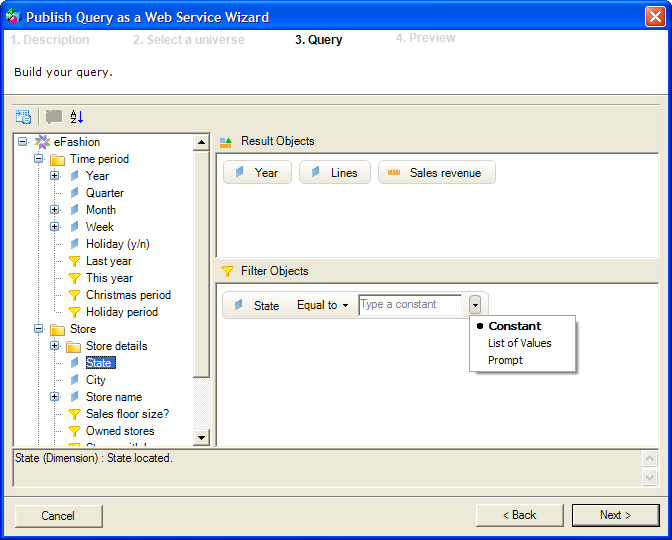
Ricardo, I’ve built dashboards using Xcelsius 2008 and its map components on Business Objects XI 3.0/3.1. Use Query as a Web Service (QaaWS), which allows you to write queries against BOBJ universes and pull the data into the Xcelsius model. Good stuff.
Xcelsius SP3 still does not contain a Mexico by State map so I’ve created one to be used with the AnyMap Add-On. Deatails and map available here:
http://www.reportex.co.uk/xc_maps.html
Regards
Charles
Thank you Dallas.
MapRegions.xls, just what I needed.
Thank you Dallas ! The maps have just become useable !
Thank you so much! a life saver!
can i add India Map in XCelsius how is it possible
Siva,
Thanks for writing, but that is a question best answered on the BusinessObjects Board or SAP support forums.
Dallas